Data search
With the data search, you have access to nature datasets from several organizations in Finland: the Finnish Environment Institute, the Finnish Biodiversity Information Facility, and the Natural Resources Institute Finland.
This search tool offers metadata of the datasets and enables you to locate their sources. Please note that some features of the search tool and the data it retrieves are currently only available in Finnish. Stay tuned for updates on the coverage and functionalities of the data search.
Total 499 data sets.
Satelliittikuvamosaiikki 5m (RapidEye 2012) on tuotettu Sykessä EU:n Copernicus Gioland-hankkeessa (nykyisin Copernicus Land Monitoring Service). Mosaiikki koostuu kevät- ja kesäaikoina otetuista RapidEye-satelliittikuvista. Mosaiikin pikselikoko on 5 m ja kanavat 1: ...
Sentinel-1 Global Backscatter Model-satellite image mosaic (S1GBM, https://sentinels.copernicus.eu/web/sentinel/missions/sentinel-1/sentinel-1-global-backscatter-model) was produced by the Remote Sensing Group of the TU Wien Department of Geodesy and Geoinformation (https://mrs.geo.tuwien.ac.at/), within project by the European ...
Sentinel-1 SAR-image mosaics S1sar are derived from data provided by Sentinel-1A and -1B-satellites. The value of pixel is statistic (mean, maximum, minimum or standard deviation) of radar gamma0 backscatter of ...
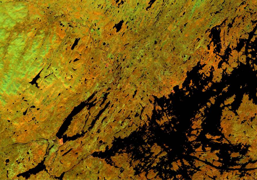
The image index mosaics called S2ind are computed from Sentinel-2 images. Time period is from early April to late October, and the mosaics are computed on the 15th and the ...
Sentinel-2 satelliittikuvamosaiikit perustuvat Sentinel-2A/2B satelliittien MultiSpectral Instrument (MSI) kuvausinstrumenttien ottamiin kuviin. Mosaiikit tuotetaan Sentinel-2 Global Mosaic palvelulla (https://s2gm.sentinel-hub.com/) joka on osa Euroopan Unionin Copernicus ohjelmaa. Mosaiikin kuvapikselin arvo on maanpinnan ...
Sentinel-2 satellite image mosaics are produced from data provided by MultiSpectral Instruments (MSI) onboard Sentinel-2A and -2B satellites. These mosaics have been produced using previous version of Sentinel-2 Global Mosaic-service ...
Sentinel-2 satellite image mosaics are produced from data provided by MultiSpectral Instruments (MSI) onboard Sentinel-2A and -2B satellites. These mosaics have been produced using current version of Sentinel-2 Global Mosaic-service ...
Soiden ojitustilanne –paikkatietoaineisto on rasterimuotoinen (25 m x 25 m) aineisto joka luokittaa koko Suomen turvemaat ojittamattomiin, ojitettuihin ja turpeenottoalueisiin. Aineisto on tehty MML:n maastotietokannan (vuosi 2008) ja CORINE2006 maanpeiteaineistojen ...
Spare vascular plant collection of Iisalmi Natural History Museum
Species observations from nature surveys at Palokas, Ylitornio, by Mawson Oy.
More information on the data search
For more information about the data search, you can visit the “About the data search” page. Here, you’ll find details about the principles, functionalities, and coverage of the dataset search.
Adding datasets to the Finnish Nature Information Hub’s data search
We are continuously improving the coverage of our data search. Does your organization have datasets that we could add to the data search? Would you like to suggest a data source that is currently missing? Get in touch with us!